
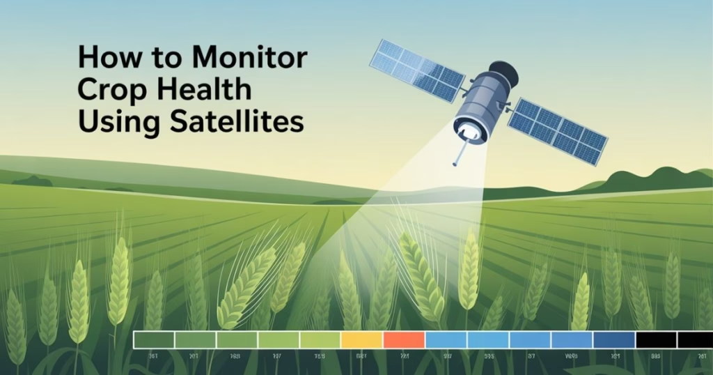
Satellite crop monitoring is the process of using satellite imagery and data to assess crop performance across large areas of land. It provides real-time insights into what’s happening in the field—without physically being there.
Why Satellite Monitoring Matters in Modern Agriculture
Satellite technology offers farmers the ability to make smarter, data-driven decisions. With environmental threats like droughts, pests, and climate change, knowing the status of your crops from space gives you a competitive advantage.
The Basics of Satellite Technology in Agriculture
Understanding how satellites work is key to grasping their role in agriculture. From orbit, satellites collect data in various formats, helping farmers visualize plant health and field conditions.

How Satellites Collect Data
Satellites use sensors that measure different wavelengths of light reflected from Earth’s surface. These readings can indicate soil moisture, plant vigor, and even disease stress.
Key Satellite Systems Used in Agriculture
Different satellites serve different purposes, but these are the most commonly used in farming:
Landsat
Landsat satellites offer medium-resolution images perfect for tracking long-term changes in crop health.
Sentinel
Sentinel satellites, part of the Copernicus Program, deliver high-resolution and frequently updated images for precise agricultural monitoring.
MODIS
MODIS provides large-scale, daily imagery useful for monitoring regional or national crop trends.
Types of Imagery Used
- Multispectral: Captures multiple bands (e.g., red, green, near-infrared) for analyzing vegetation.
- Thermal: Measures surface temperature, which can indicate plant stress or water shortages.
- Radar: Penetrates clouds and works day or night, ideal for rainy or overcast areas.
Key Benefits of Using Satellites to Monitor Crops
Satellite crop monitoring brings numerous advantages that simplify and improve farming operations.
Wide Coverage Area
Satellites can scan entire countries or continents at once, offering a complete picture of agricultural regions.
Regular Monitoring
Most satellites revisit the same field every few days, which means farmers can track changes and detect problems early.
Non-Intrusive and Remote
With satellite tech, there’s no need to be physically present in the field. You get data at your fingertips from miles away.
How Satellite Data Helps Detect Crop Health
The real power of satellite monitoring lies in its ability to detect subtle changes that might escape the human eye.
Vegetation Indices (NDVI, EVI, etc.)
Vegetation indices like NDVI use infrared and visible light to calculate how “green” and healthy a plant is. Healthy crops reflect more infrared light, while stressed ones reflect less.
Soil Moisture and Drought Detection
Satellites can sense moisture levels in the soil, helping farmers manage irrigation schedules and detect early signs of drought stress.
Pest and Disease Outbreak Indicators
Sudden drops in NDVI or EVI can indicate the presence of pests or disease. Early warnings mean early interventions, saving crops from destruction.
Tools and Platforms for Satellite Crop Monitoring
Various platforms help farmers access and interpret satellite data in user-friendly ways.
Google Earth Engine
An advanced, cloud-based platform that enables the analysis of large-scale satellite data, often used in research and large-scale farming.
CropIn
CropIn integrates satellite data with AI to deliver real-time alerts and insights, helping both smallholders and agribusinesses.
EOSDA Crop Monitoring
EOSDA offers a sleek dashboard showing NDVI, weather data, field productivity, and historical performance.
FarmLogs and Other Apps
Apps like FarmLogs simplify complex satellite data, turning it into actionable tips for irrigation, spraying, or harvesting.
Read More: How to Fix a Cracked Tooth Naturally?
How Farmers Use Satellite Data in Real Life
Satellite data isn’t just theory—it’s actively improving lives on the ground.
Spotting Trouble Areas in Fields
Instead of walking across acres, farmers can check satellite maps to find underperforming areas and treat them specifically.
Optimizing Irrigation and Fertilizer Use
Precision agriculture means applying just the right amount of water and nutrients—satellite data makes this easy and cost-effective.
Planning Harvests and Managing Yields
Growth stage analysis from satellites helps determine the perfect harvest time and estimate total yields ahead of time.
Limitations and Challenges
While promising, satellite crop monitoring isn’t without its hurdles.
Cloud Cover and Weather Conditions
Optical satellites can’t “see” through clouds, which can delay data collection. Radar satellites help solve this, but not all platforms include radar.
Resolution Constraints
Some free satellite images have low resolution (250–500 meters per pixel), which isn’t helpful for small farms that need detailed imagery.
Technical Knowledge Requirement
Interpreting data can be confusing for those unfamiliar with remote sensing. However, many platforms are improving their interfaces and offering training.
The Future of Satellite Monitoring in Farming
The tech is only getting better. Here’s a glimpse into what’s next:

AI and Machine Learning Integration
AI tools are being trained to spot trends, predict outcomes, and make satellite data more accessible and useful than ever.
Combining Satellite with Drone Data
Drones provide ultra-detailed views of small fields. When paired with satellite data, you get the best of both macro and micro perspectives.
Real-Time Monitoring Innovations
Real-time or near real-time satellite imagery is becoming more accessible, helping farmers act faster and with greater confidence.
Conclusion
Monitoring crop health using satellites has moved from sci-fi to smart farming. By offering consistent, large-scale insights, this technology helps farmers work more efficiently, react faster to threats, and grow more with less. Whether you’re running a massive agribusiness or a small family farm, satellites can put powerful tools in your hands—literally.
FAQs
1. How accurate is satellite data for crop monitoring?
When combined with ground truthing or drone support, satellite data can be up to 90–95% accurate in assessing crop conditions.
2. Can small farmers use satellite monitoring?
Yes! Many apps are designed for smallholder farms, offering simple tools that don’t require technical expertise.
3. Is satellite data expensive to access?
Many sources like Sentinel and MODIS offer free data. Premium platforms may charge for advanced features, but basic monitoring can be affordable.
4. How often do satellites collect crop data?
Most agricultural satellites revisit the same area every 1 to 5 days, offering frequent updates.
5. What crops benefit most from satellite monitoring?
Grains, cereals, cotton, soybeans, and maize all benefit significantly. But satellite monitoring is helpful across almost all crop types.